Better data. Smarter decisions.
Every successful marine project starts with a clear understanding of the environment below the surface.
- Multibeam
- Hydrographic Survey
- Sonar
- Photogrammetry
What we do
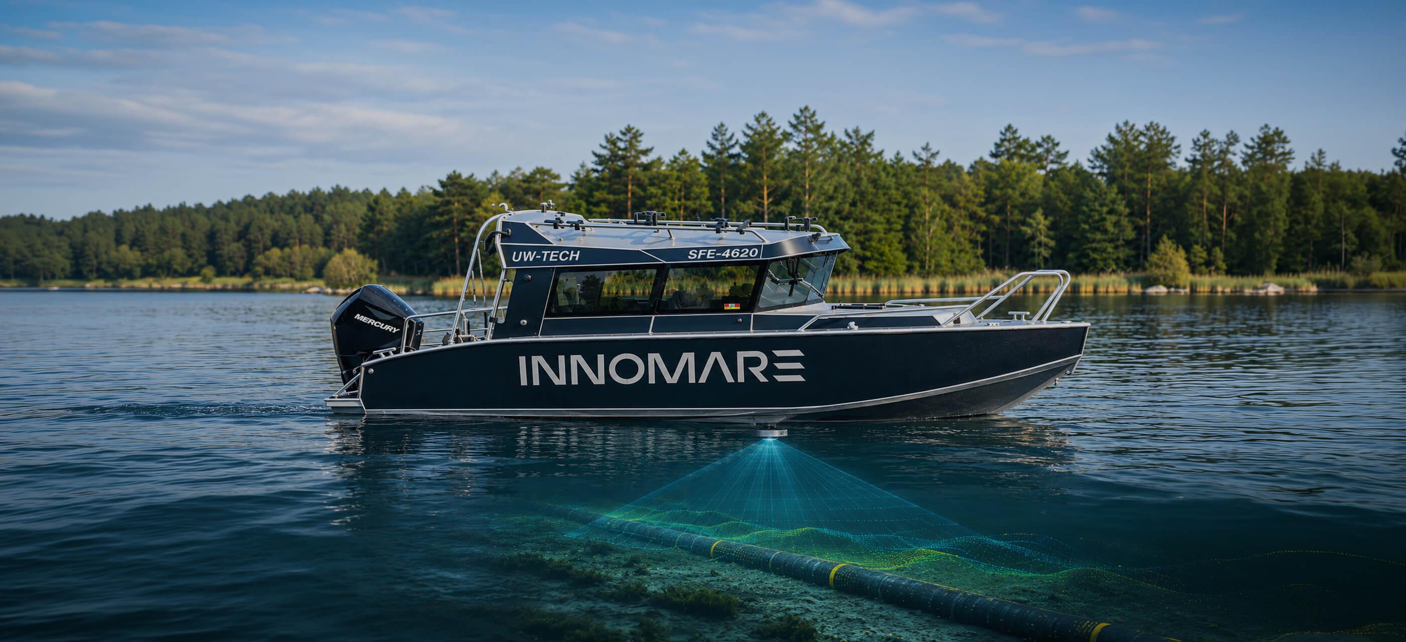
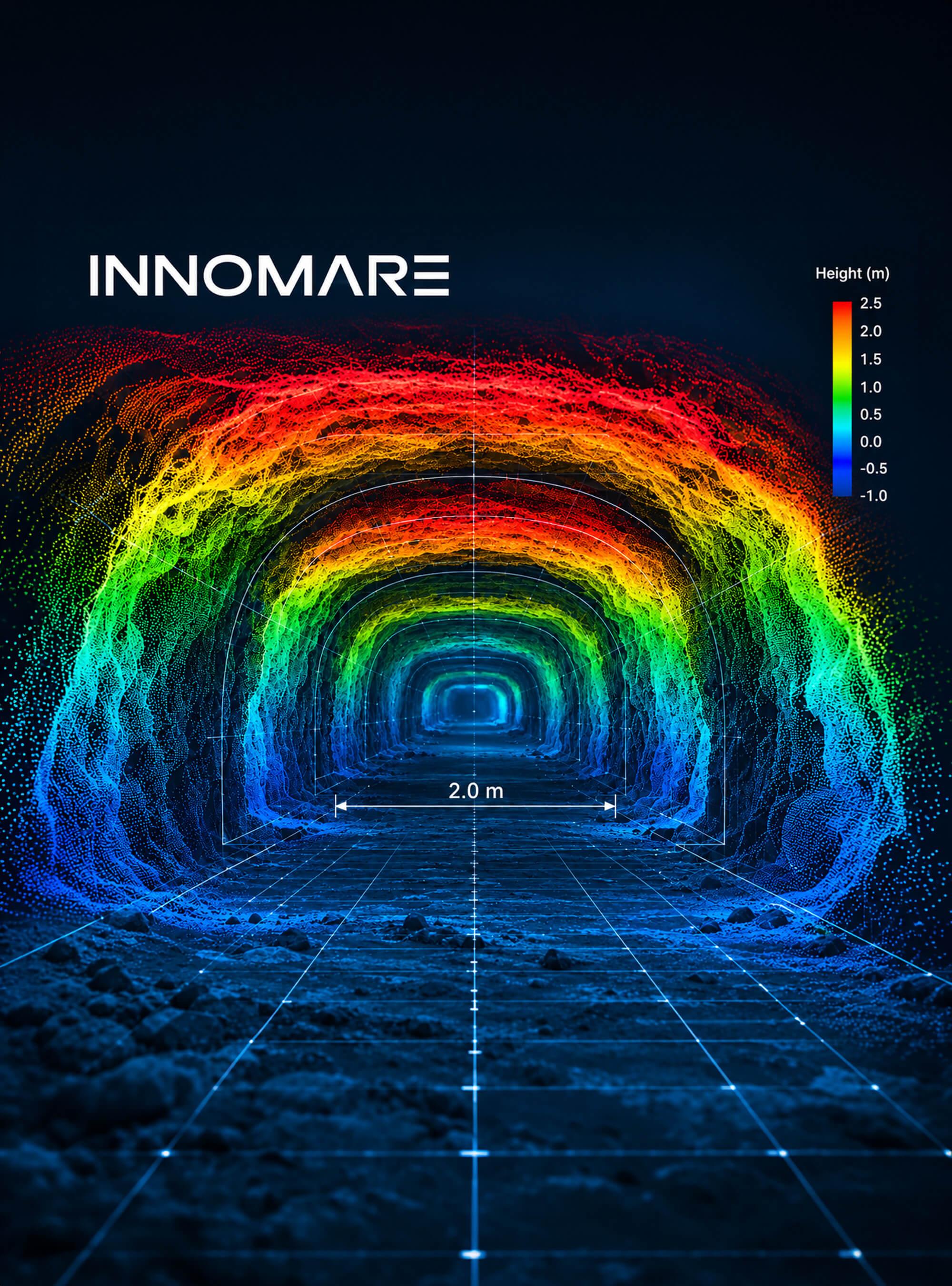
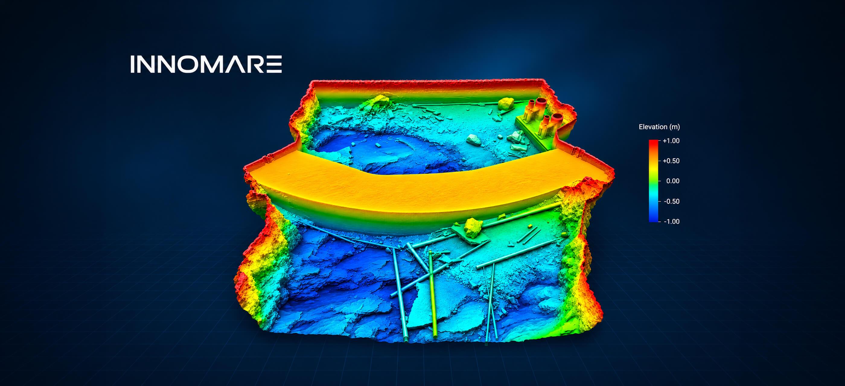
INNOMARE delivers hydrographic and geophysical surveys that transform complex underwater environments into reliable, measurable data. From seabed mapping to detailed 3D models, our solutions help clients reduce uncertainty, optimise engineering decisions and plan with confidence.
What this includes
- Hydrographic and bathymetric surveys
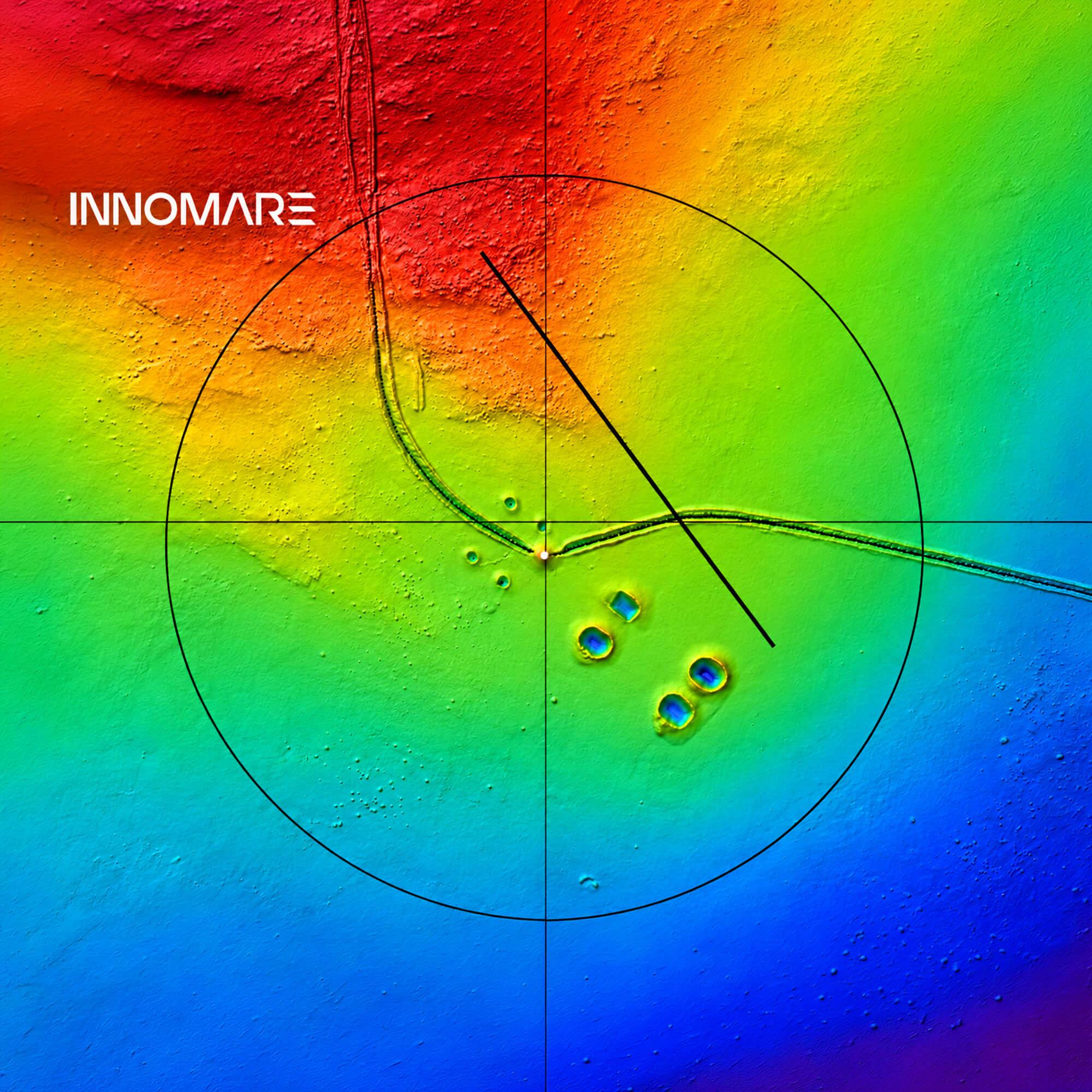
- Seabed mapping and site investigations
- Cable and pipeline route surveys
- Scour and seabed change assessments
- High-resolution 3D models and digital twins
How we deliver
Every survey pairs experienced hydrographic specialists with the right sensors for the water depth and the conditions. We follow a structured workflow from survey planning and data acquisition to processing and modelling, so results stay accurate, repeatable and ready to build on. Raw sensor data becomes a reliable basis for engineering decisions, not just a point cloud.
Technology and tools
- Multibeam echo sounders (MBES)
- Side-scan sonar
- GNSS/INS positioning
- Magnetometers
- ROV-mounted sensors
- Underwater photogrammetry
- Advanced 3D data processing

Where it's applied
Offshore wind & energy
Seabed assessments, foundations and cable corridors